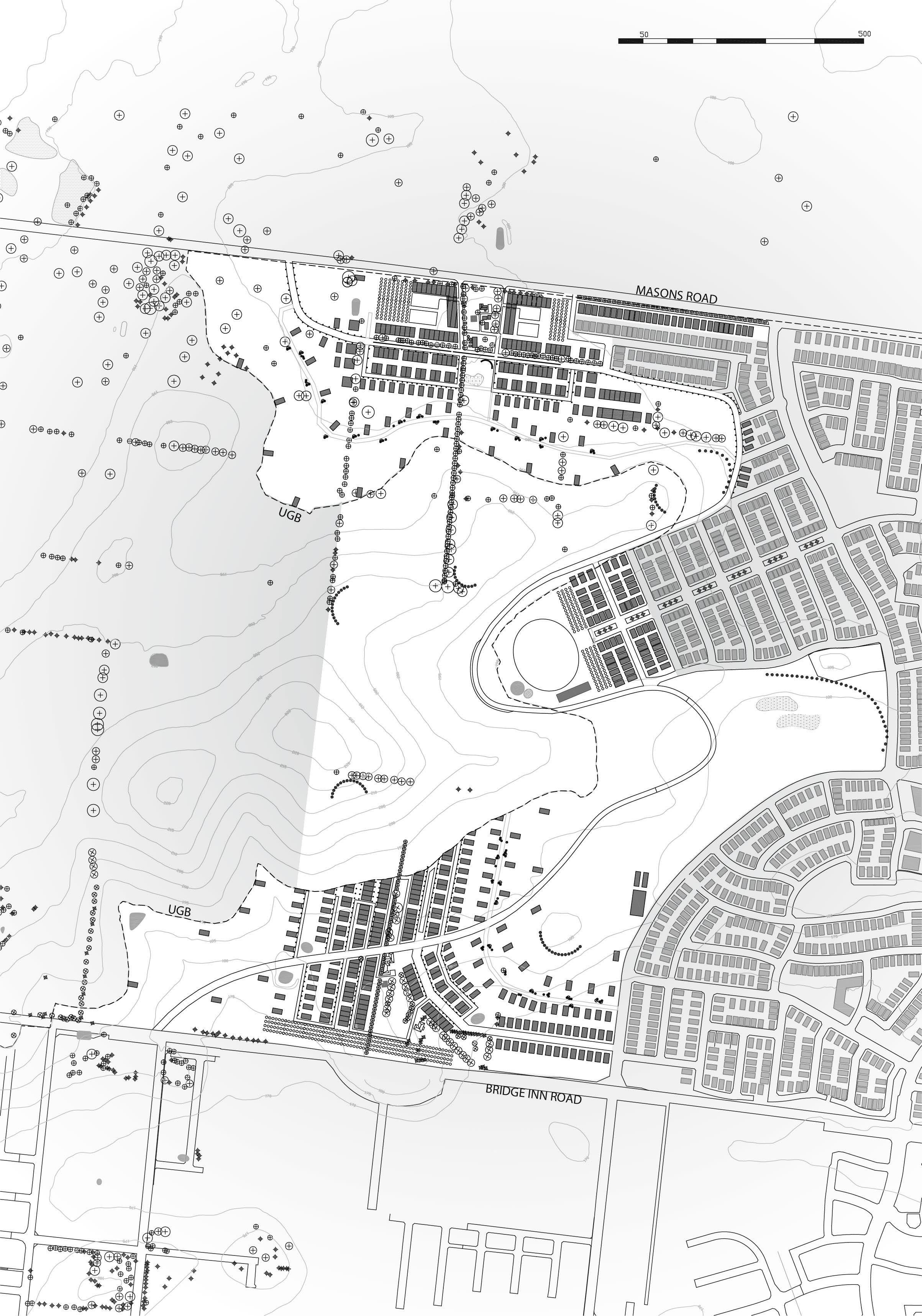
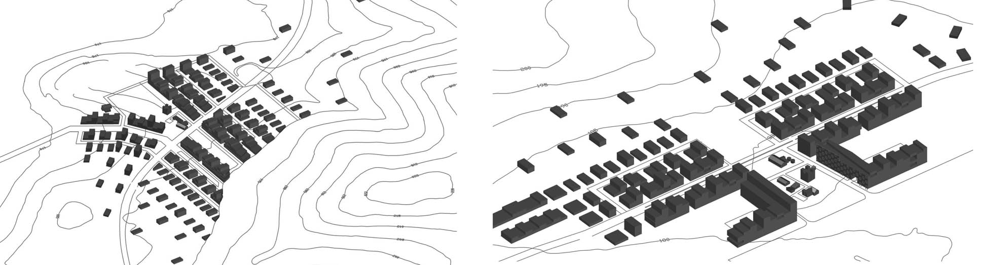
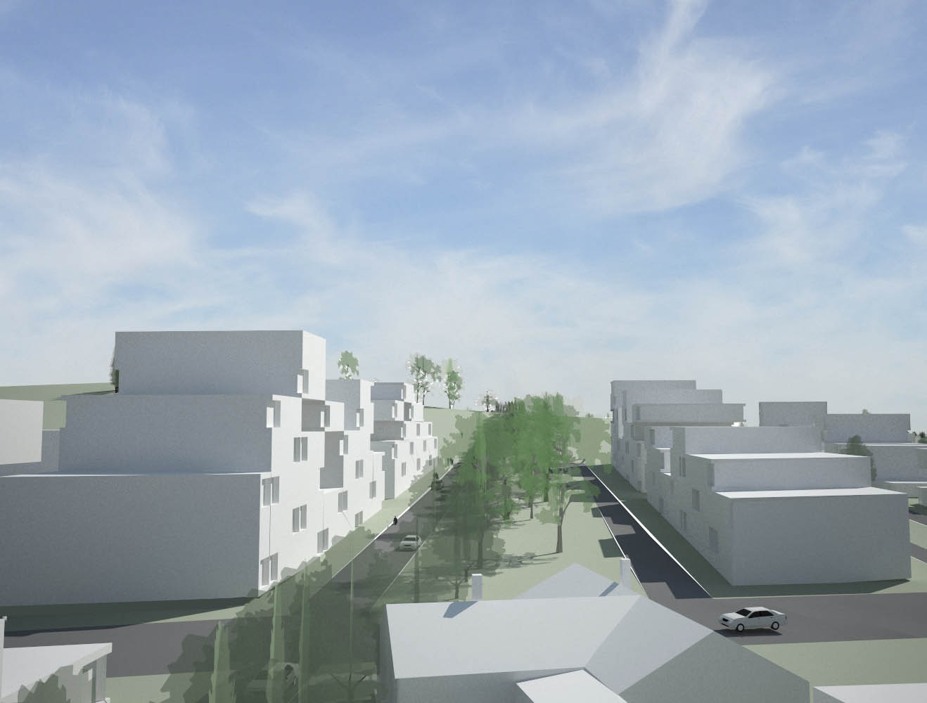
In outer-urban Melbourne, along the Urban Growth Boundary, urban density is proposed to be arranged in a series of high density nodes with low density spaces between. This is in contrast to the existing typical situation where outer urban developments have only minor variation of density and form. The location of the nodes is determined by existing farmhouse settlement patterns including buildings, tree plantations and dams. Each node is planned around the existing features creating a series of unique urban footprints. The buildings reflect a strategy of accretion in which lower density housing at the edges of the node shifts to highest density housing at the centre of the node. Urban squares serve the highest density areas while also creating a network of outdoor spaces that link the users and occupants with the open landscape beyond.

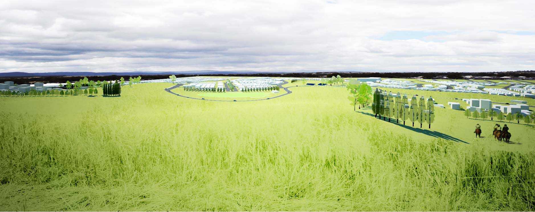
Views from apartments, walking paths along tree plantations, cycling, running and driving all connect the occupant to the hills and paddock beyond the UGB. Consideration has also been given to the location of a school, community farm, football oval as well as the open recreational spaces of a hilltop park and wetlands area.

Connecting north and south is the Scenic Road, a miniaturized version of the traditional tourist drives taken through country regions. This road takes a line as if the UGB was exaggerated, weaving in and out and over the least urban areas while also passing through the centre of the high density nodes.
From a planning point of view the UGB is a line on a map but from a design perspective it represents an intent within a location or site. This proposal suggests the intent and place can be experienced through views or movement on a daily basis giving place-specific meaning to an edge community.